In our collection, we have a very old and rare item from Soviet tanks.
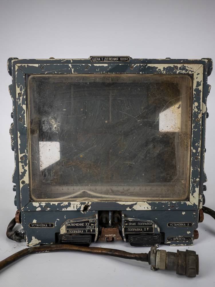
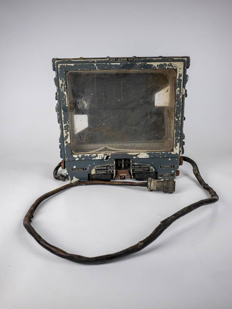
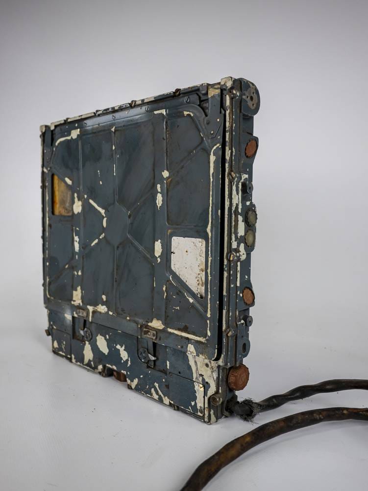
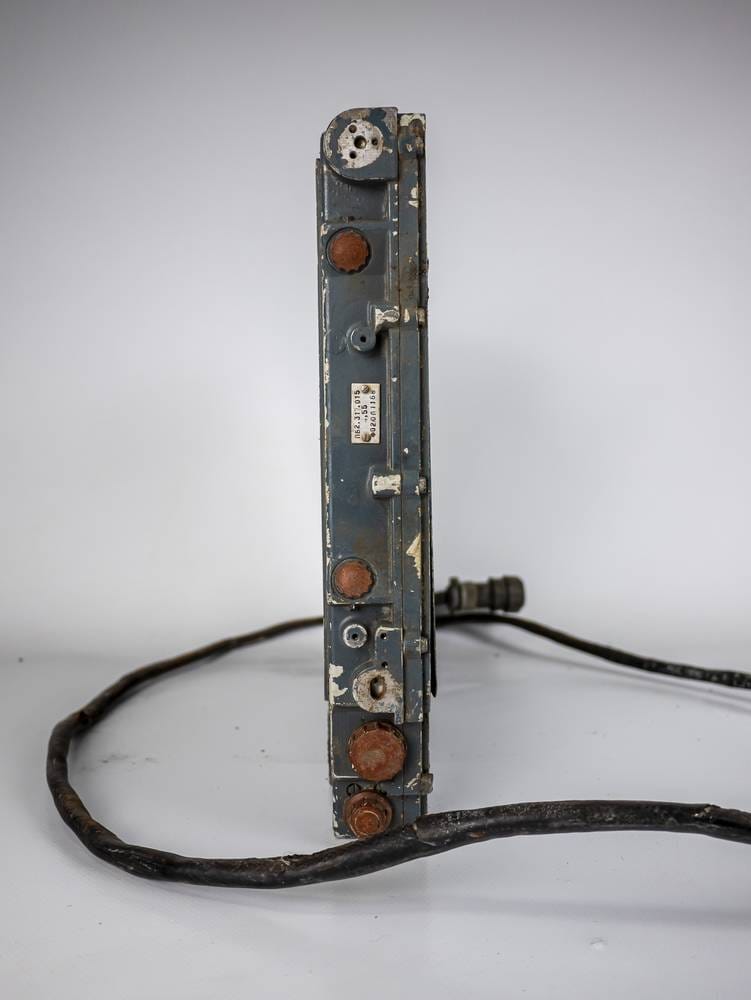
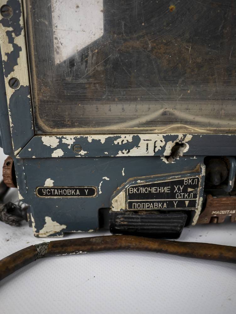
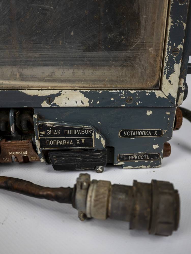
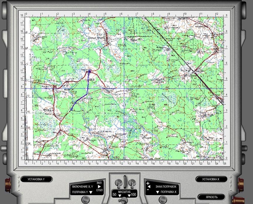
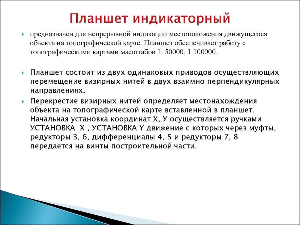
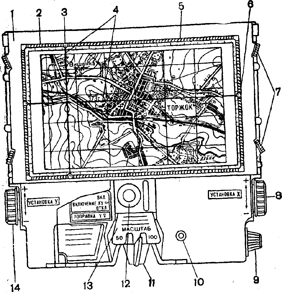
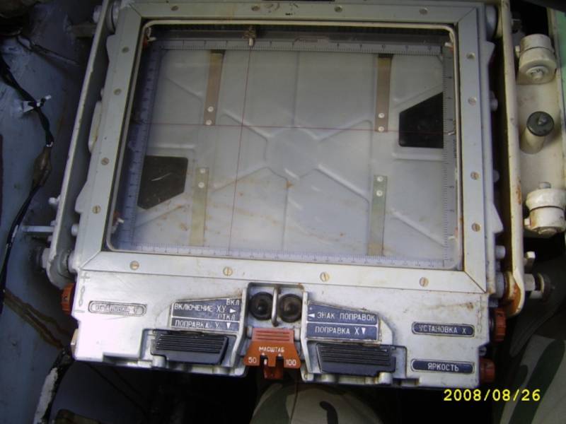
The indicator tablet is intended to indicate the location of the machine on a topographic map by intersecting the sighting (movable) threads. It is designed to work with topographic maps of scales 1:50000 and 1:100000. A small (2-3 sheets) glued map folded to the size of the tablet can be inserted into it.
One could say that this tablet (or navigator, if we speak in modern terms) is a Soviet secret artifact. It is a navigation system that allows the operator to understand the location of the combat vehicle while it moves. It is the navigator of the second army of the world that works not from satellites but from paper maps, some threads, and the navigator’s mind.
There is not much information about this tablet. I found only a few articles describing navigation equipment for combat vehicles, from which I understood what kind of Soviet technology miracle it is, which Putin’s army uses in the war in Ukraine.


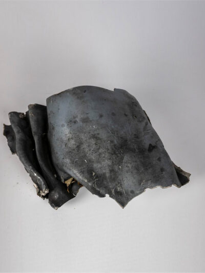
There are many fragments of war in Ukraine, including parts of rockets that the occupiers are trying to use to destroy Ukrainian cities. This is a part of the X-101 […]
A unique trophy from the war in Ukraine. This is a part of the turbine from a Russian SU-34 aircraft that was shot down by our Armed Forces of Ukraine […]

SET №2 «Summer coolness 22» Presented for your attention is a fashionable set of Russian military uniform from the “Summer 2022” collection. Everything is clean and no longer smells of […]
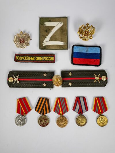
The occupiers really love these trinkets. We have plenty of them: cockades, medals, chevrons with lightning bolts and so on. We use them in our products because they are very […]